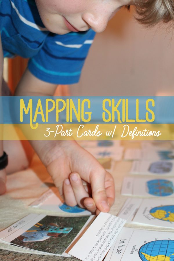
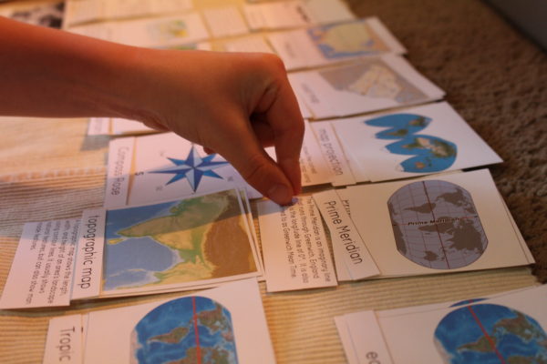
In the spring, after we finished our basic land and water forms study we moved on to learning different mapping skills. To help learn about the different types of maps, what a surveyor and cartographer do, how to read a compass, and the difference between longitude and latitude I made our own 3-part cards to go along with our study.
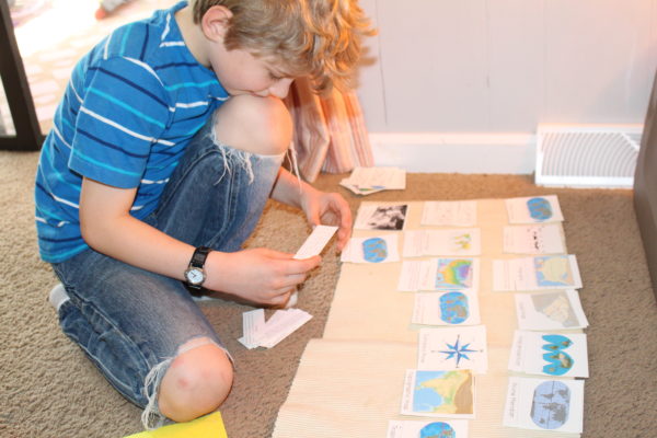
These cards are a little different in that they’re actually 4-part cards. Once a child moves on into lower elementary, the definition is added to each picture and label to help deepen the child’s understanding of the term and its concept. So here we have the the main card with picture and name, the picture, the word card label, and then the definition.
I’ve found as we’ve moved into Montessori elementary there are much fewer resources for students, so I made my own printable and it’s free for you to download and use too! Just click the link below:


0 comments… add one